Measure Distance
Click on the map to trace a path you want to measure
Total distance: 1 km (20 ft)
Total area: 65 m² (500 ft²)
Hobbit
0 days
Orc
0 days
Dwarf
0 days
Man
0 days
Elf
0 days
Join the Community
Access the full website, chat on our Discord server and help fund development.
Credits
This map was made possible through the efforts of the ArdaCraft's team!
Special thanks to Foglet, Enritix, Micah & Milack
Tool used
We primarily used Leaflet, Webstudio & Wordpress
Disclaimer
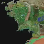
The terrain you see is a work in progress and not on the ArdaCraft server. Certain details may not be as they currently are ingame
About ArdaCraft
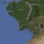
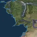
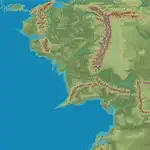
This map showcases ArdaCraft’s ongoing project.
Our goal is to create the most detailed recreation of J.R.R. Tolkien’s Middle-earth ever made.
The map is set on the 4th of September 3006.
You can explore it on our Minecraft server, although it remains a work in progress.
Map details
Regions
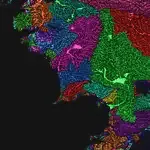
Biomes
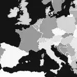
Europe
Drainage
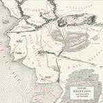
Beleriand
Map types
Default
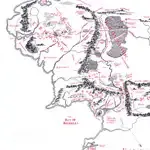
Drawing
Satellite
Heightmap
0
Learn More